
Features
0 3D survey model management
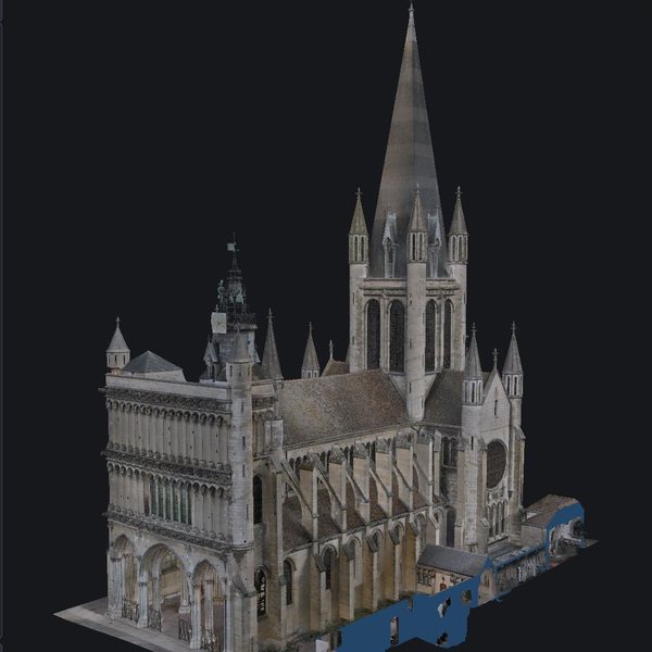
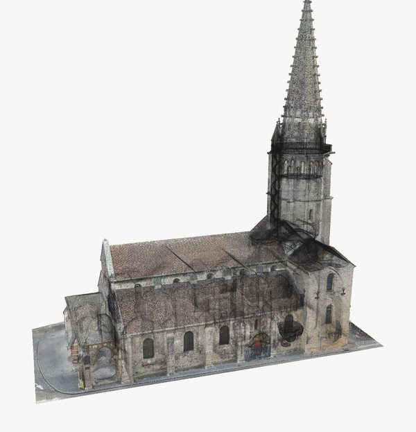
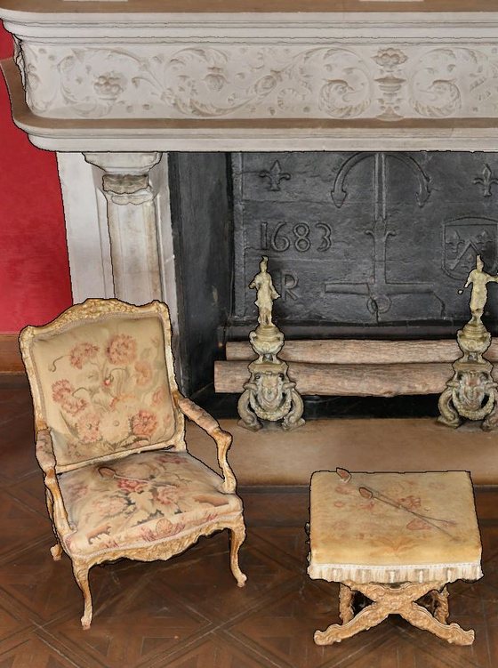
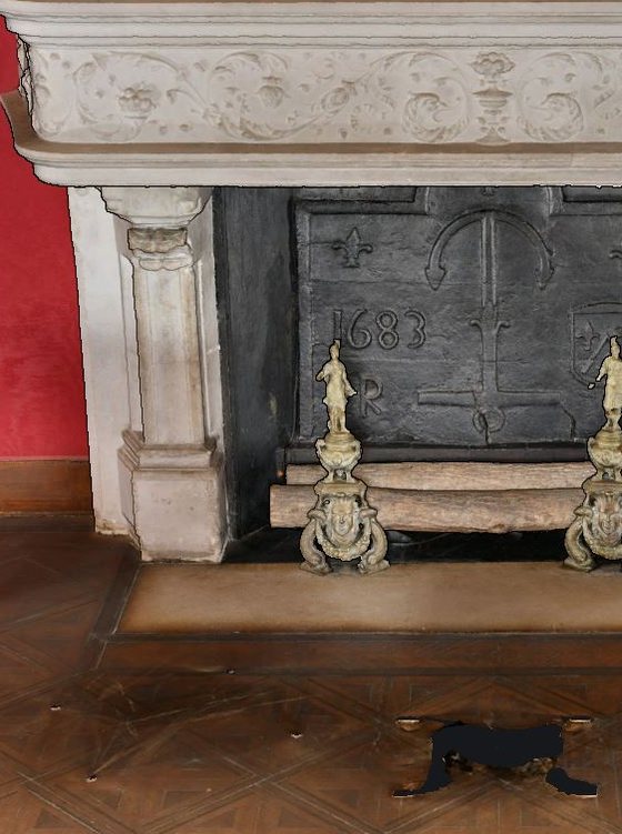
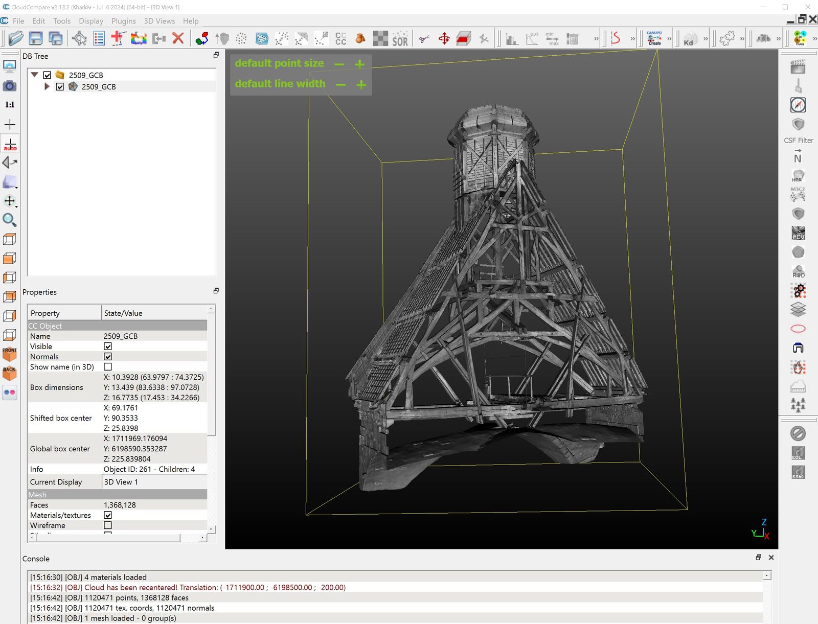
Textured meshes (.obj)
Tested up to 140M triangles and 97 texture files of 16k × 16k
Dataset courtesy of Geokali
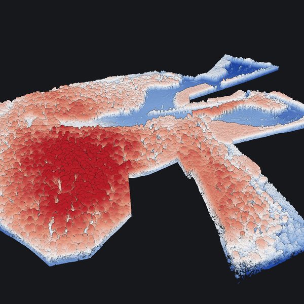
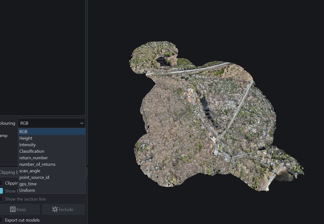
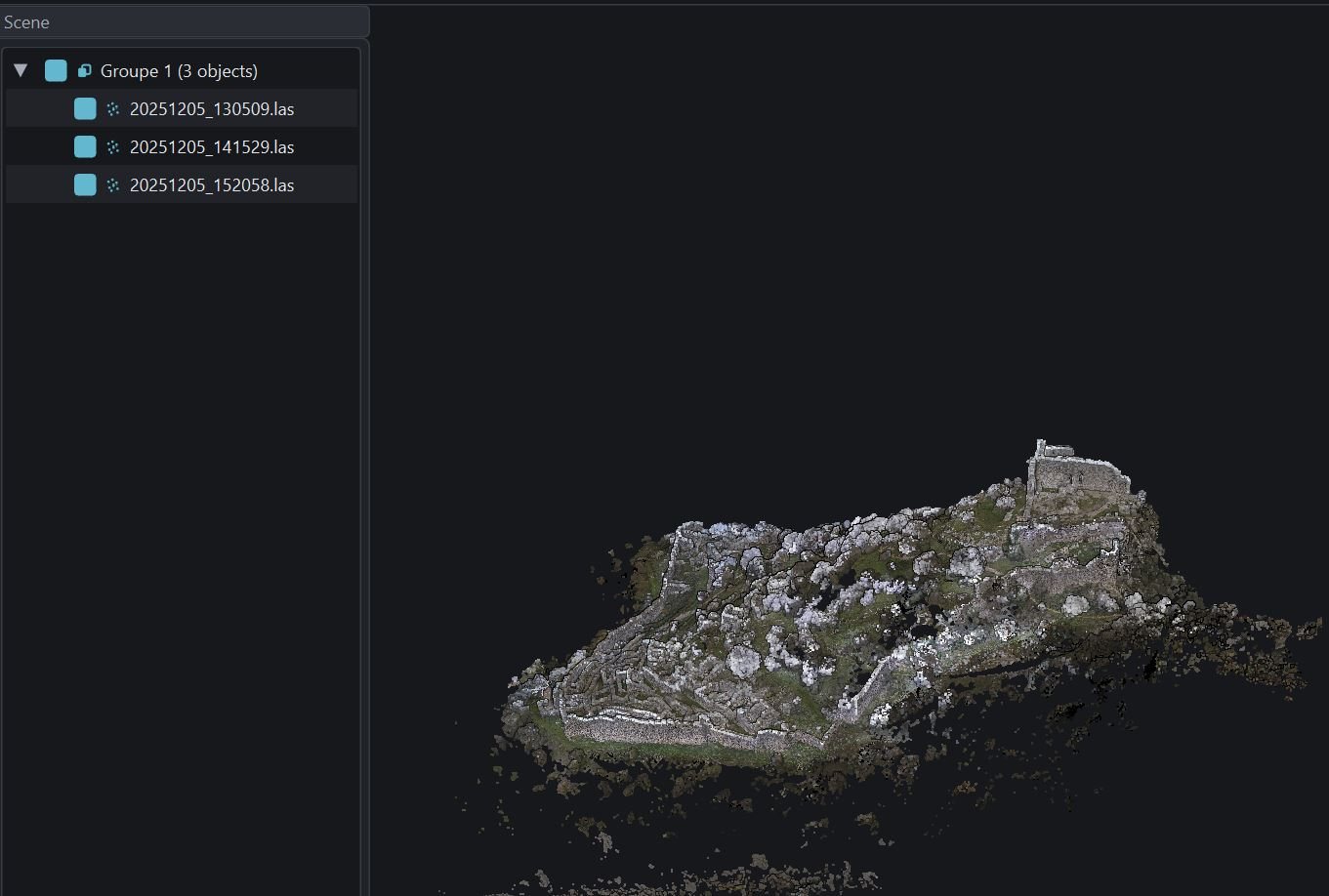
Multi‑attribute point clouds (.las / .laz / .e57)
Tested up to 2.5 billion points
Dataset courtesy of Geogrid
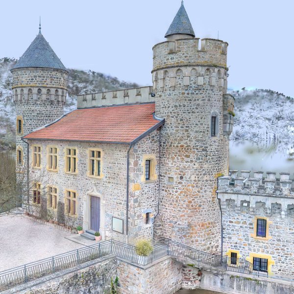
3DGS models (.ply)
Tested up to 300M splats
Dataset courtesy of Geodrone3D
1 Visualization
Automatic handling of large coordinates
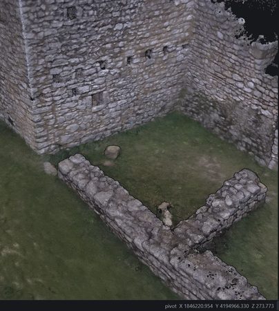
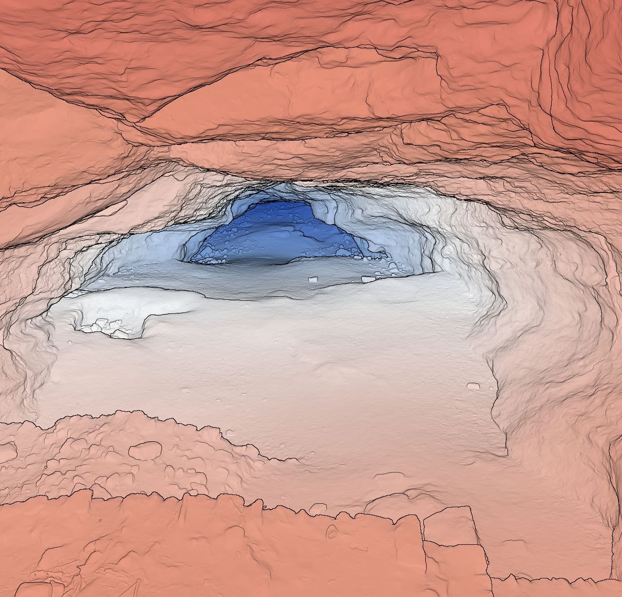
Multiple renderings
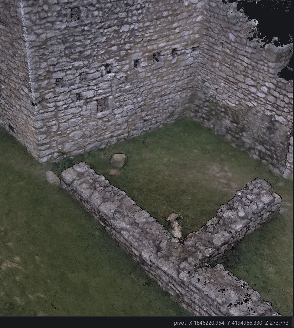
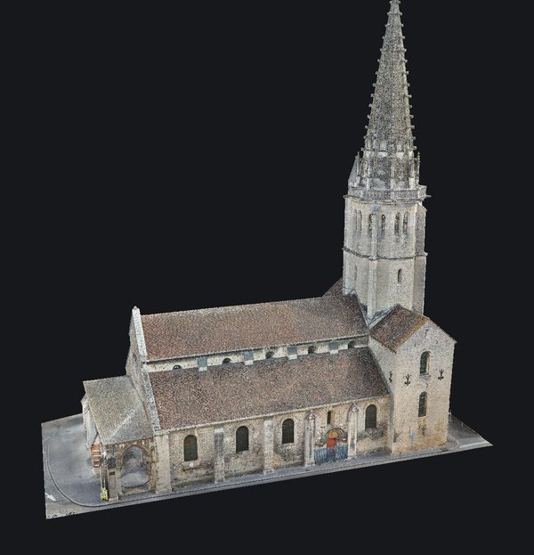
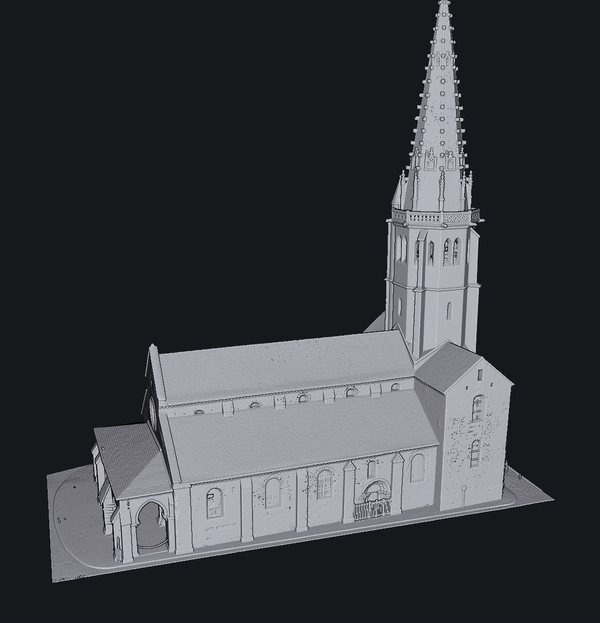
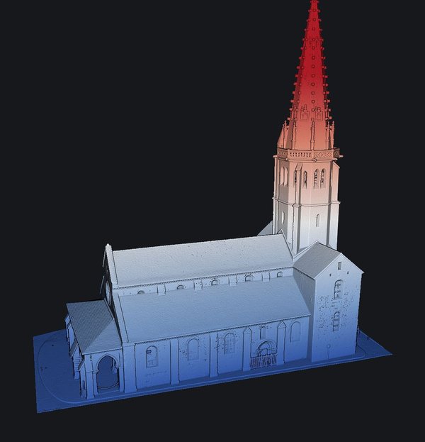
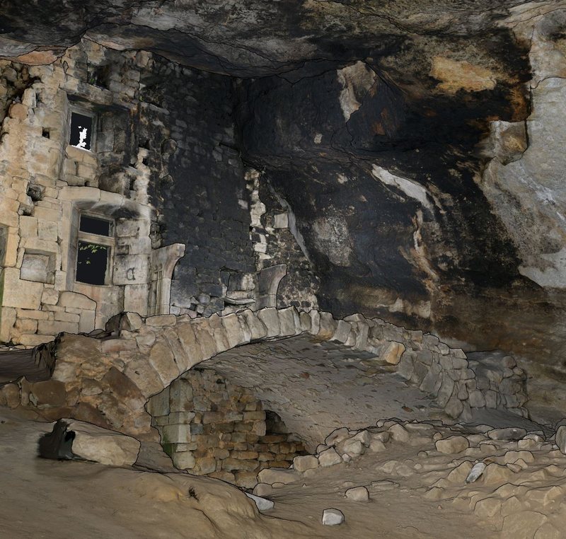
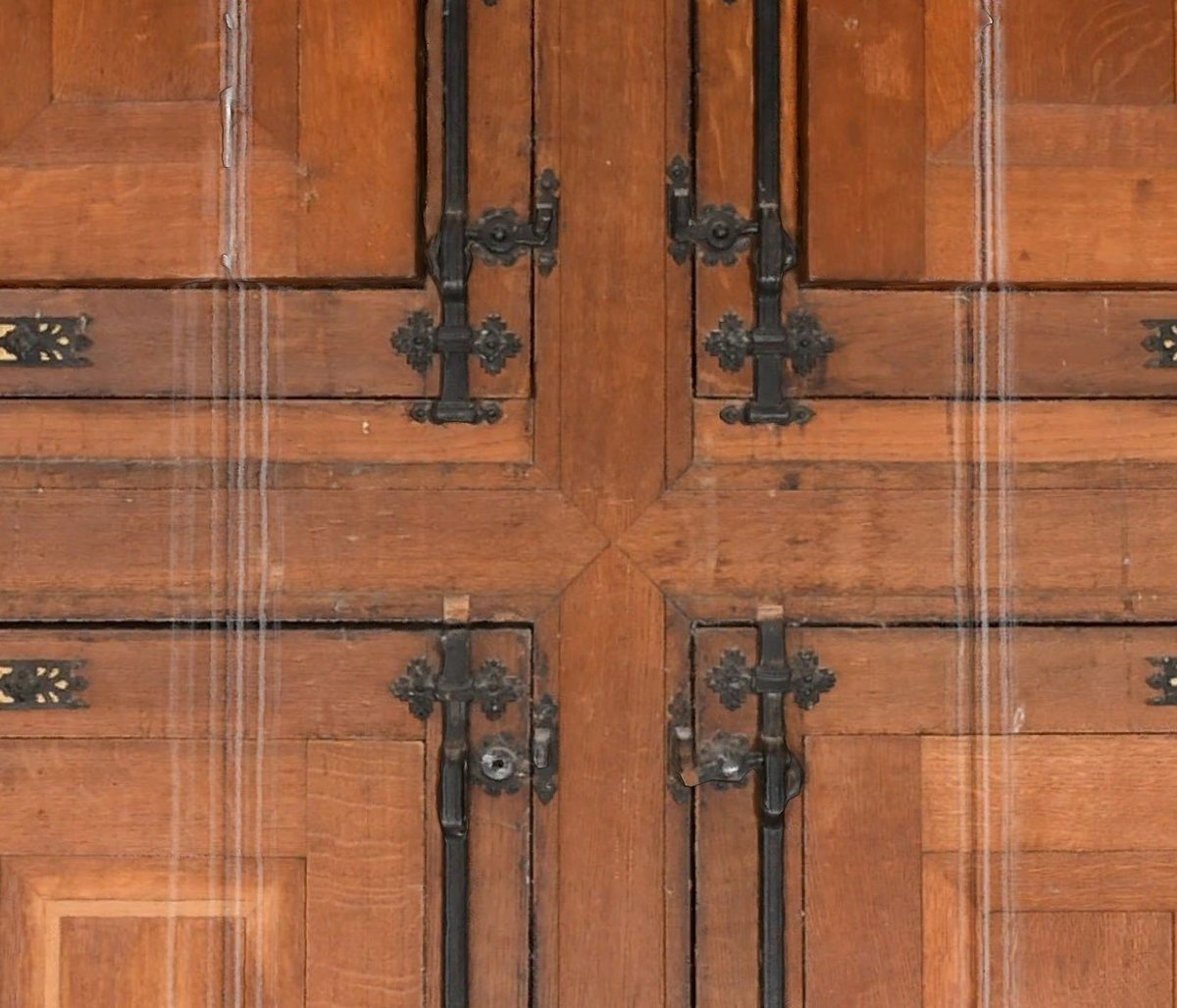
Texture, flat color, height, depth, relief, X-ray.
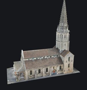
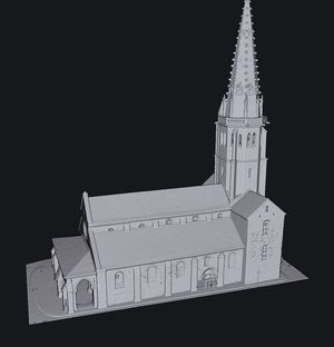
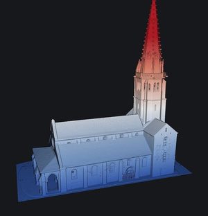
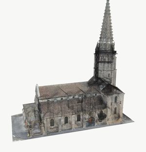
Display of all 3D model attributes
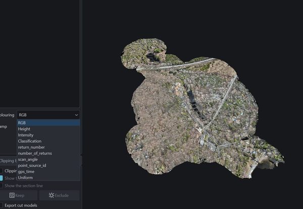
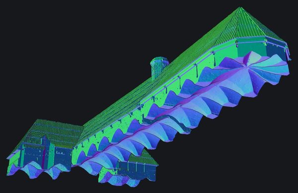
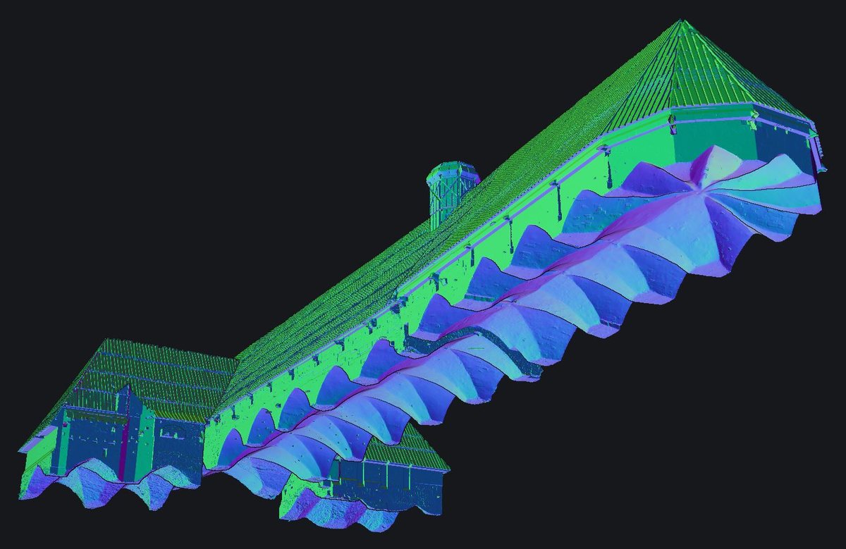
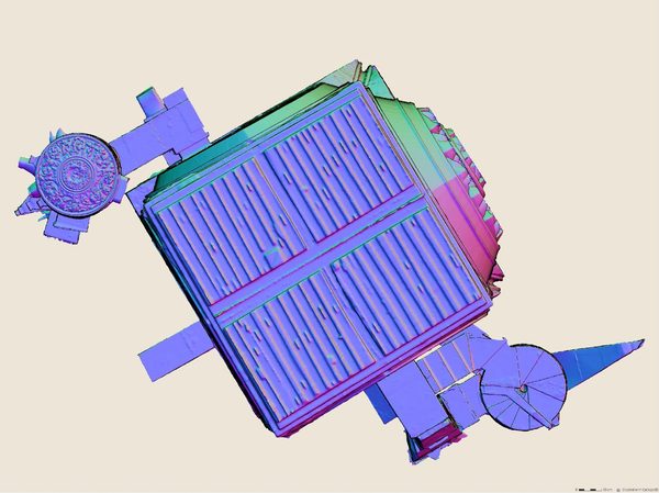
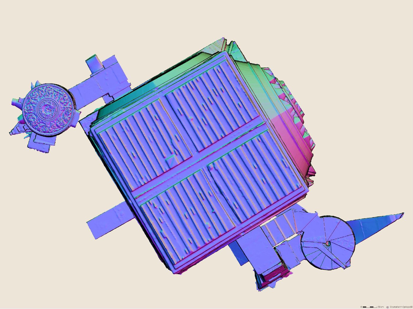
Normal visualization (tangent or object space)
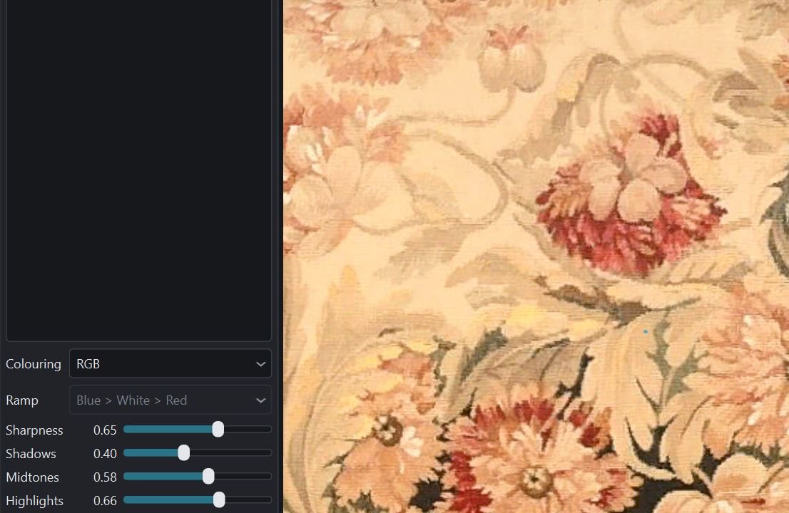
Sharpness adjustment and brightness balance of 3D models
Sharpness, shadows, midtones and highlights, on screen and in the orthoimages.

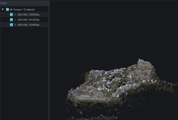
3D model grouping
Shared color ramps, attributes, etc.
Reversed faces (meshes)
Surfaces facing the view hidden: the interior shows from outside.
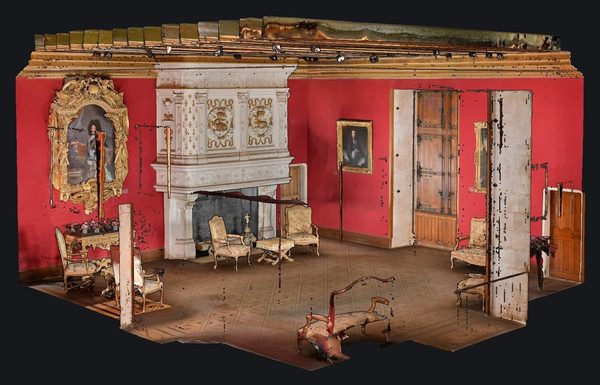
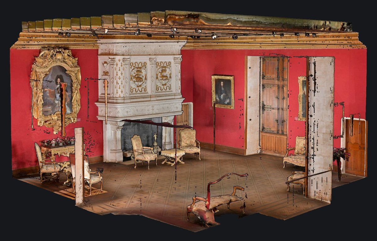
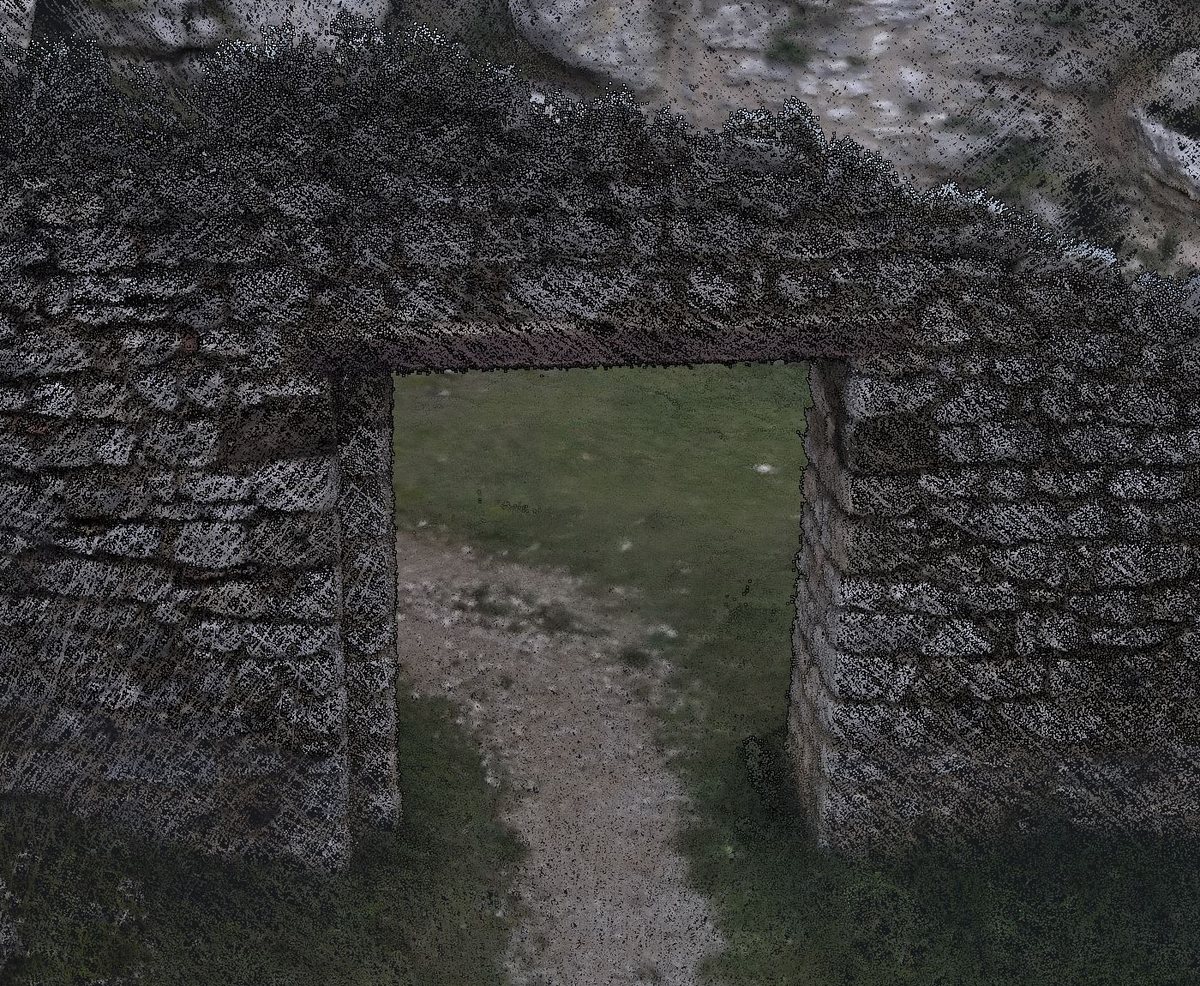
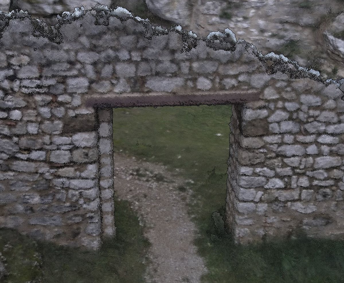
Visual filling of point clouds
Gaps between points are filled on screen and in 2D extractions.
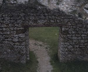
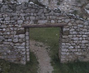
View adapted to PC resources
Progressive or reduced loading of meshes, point clouds or 3DGS.
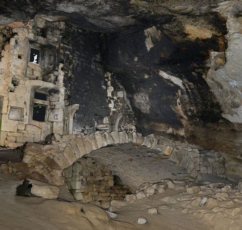
FPV navigation with a 3D mouse
Orbit or free-flight navigation.

Screenshots up to 16,384 pixels

2 Analysis & checking
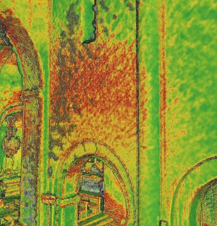
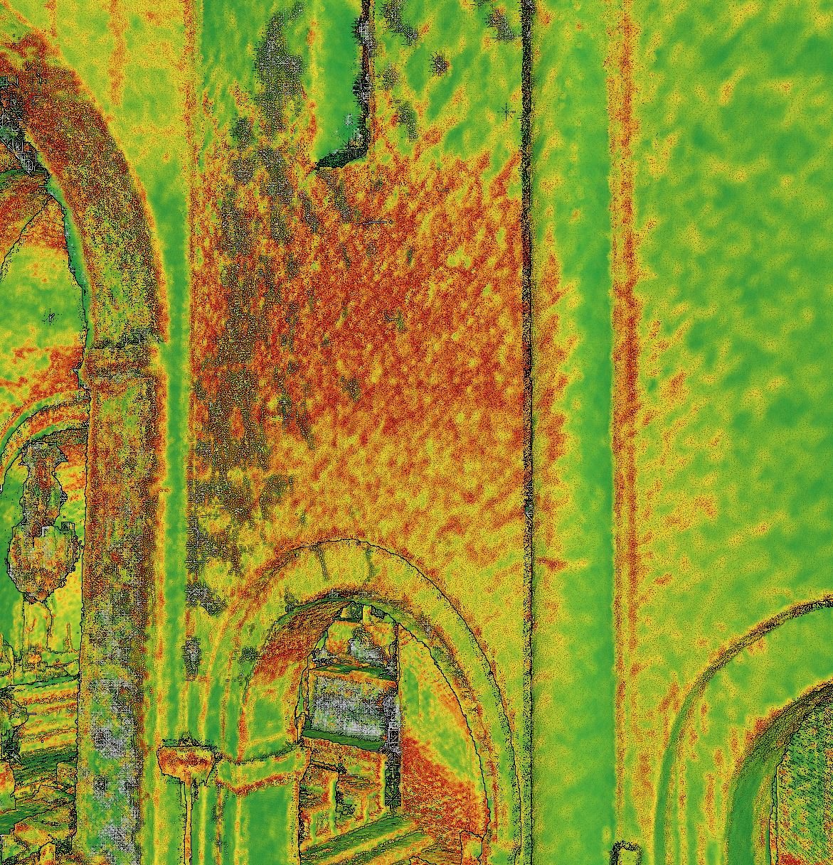
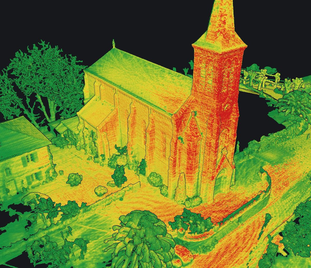
Noise analysis
On several clouds at once.
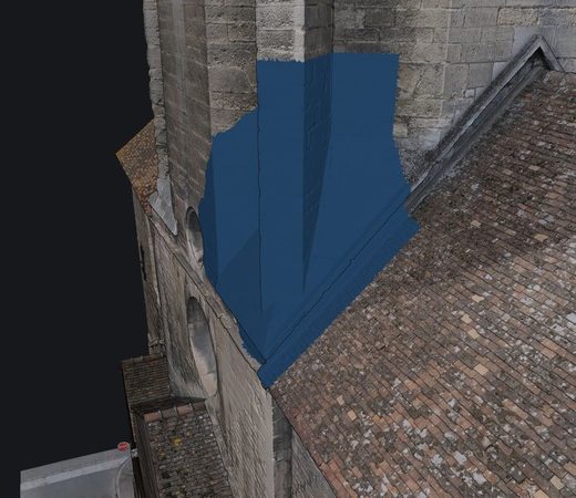
Detection and correction of flipped faces
Automatically or with a click, on meshes and clouds alike.
Point density and point spacing check
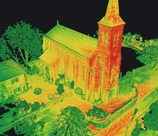
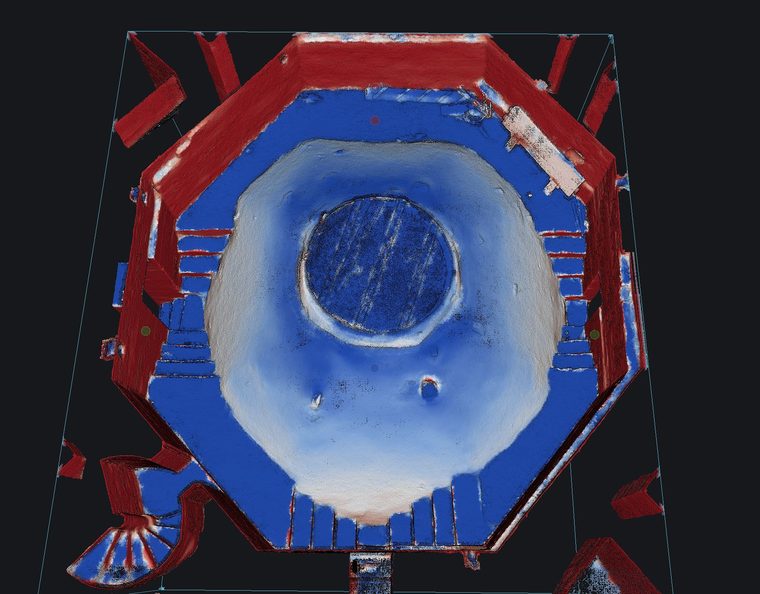
Slope analysis
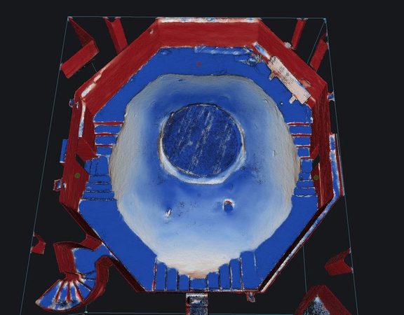
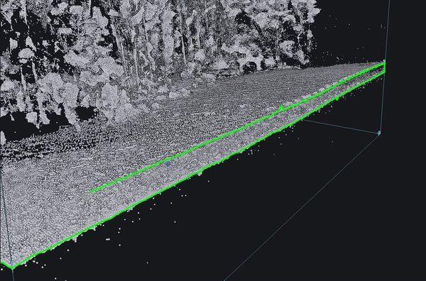
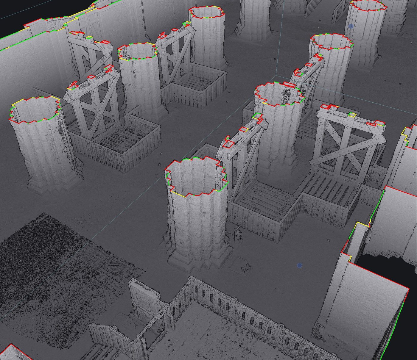
Intersection line display to check scan or photogrammetry alignment
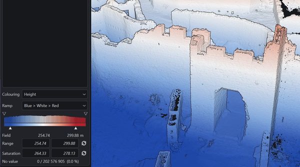
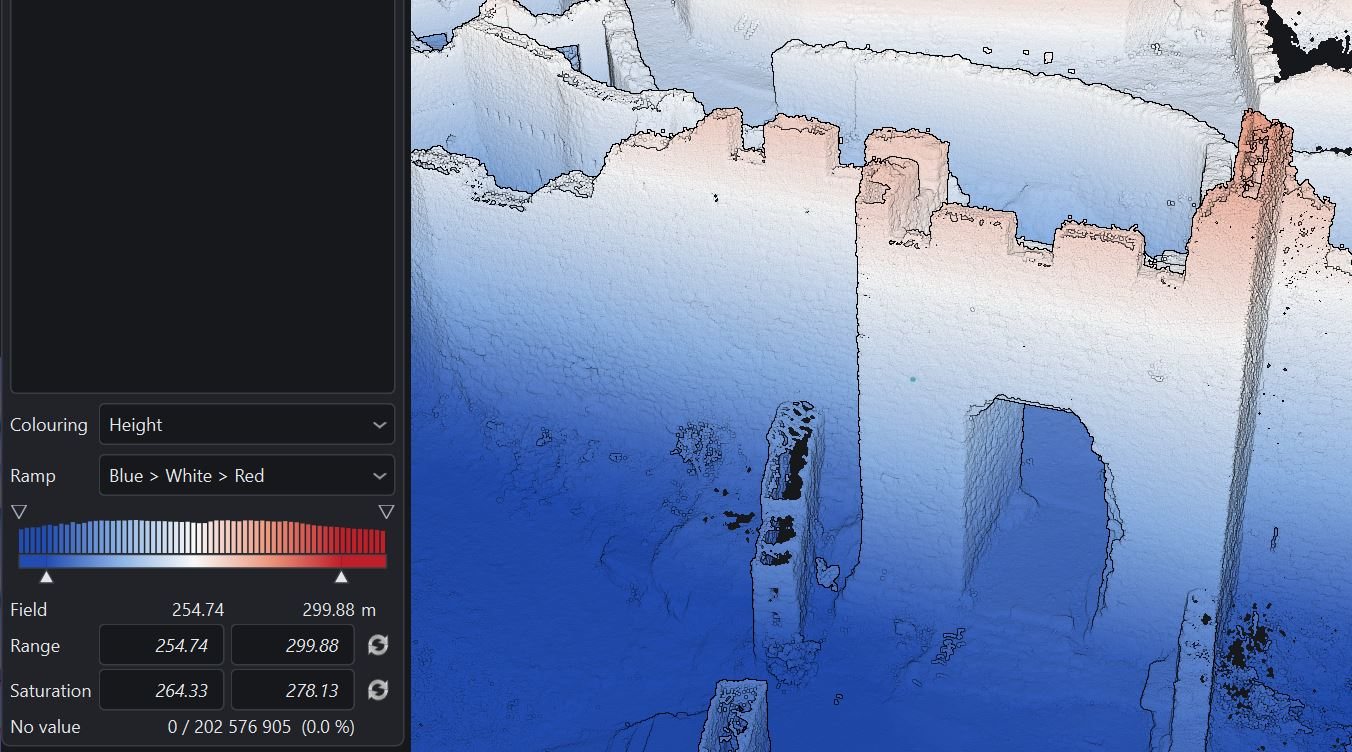
Color ramps (min‑max and saturation)
3 3D model editing
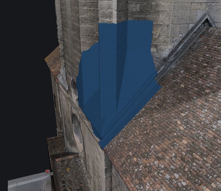
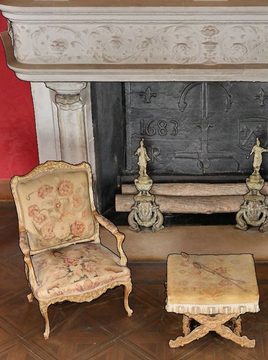
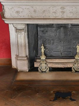
Fine, clean cutting of models
Cut at the faces of the clipping box, with no open triangle.
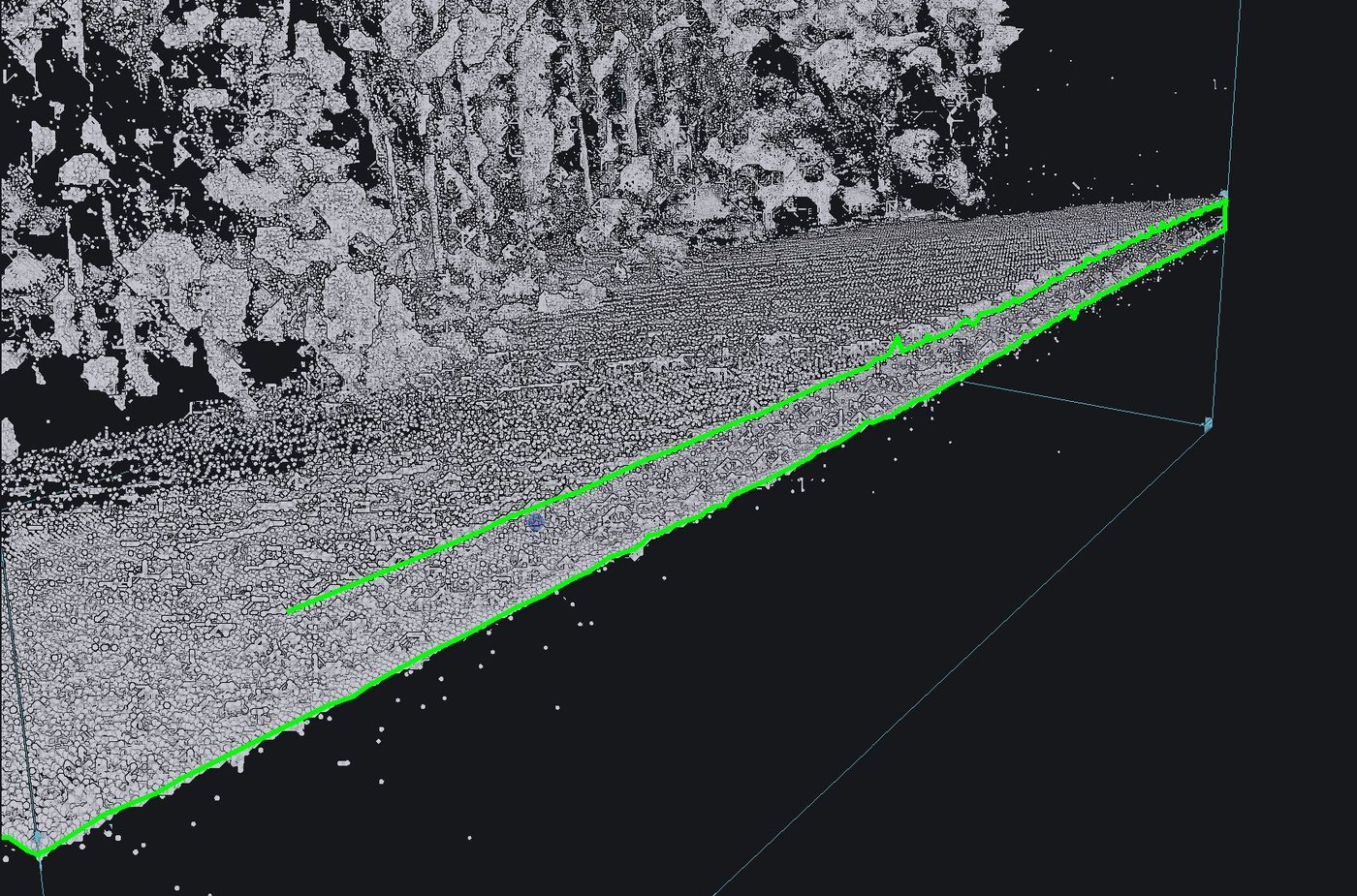
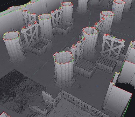
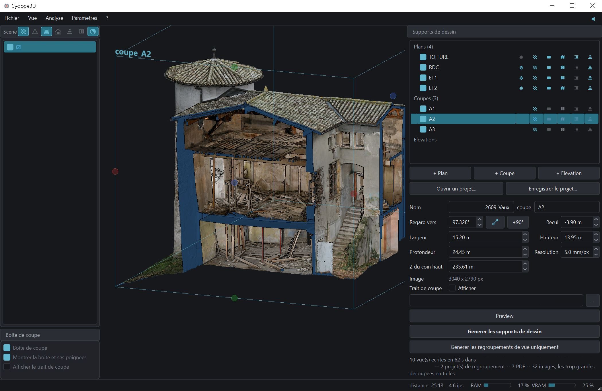
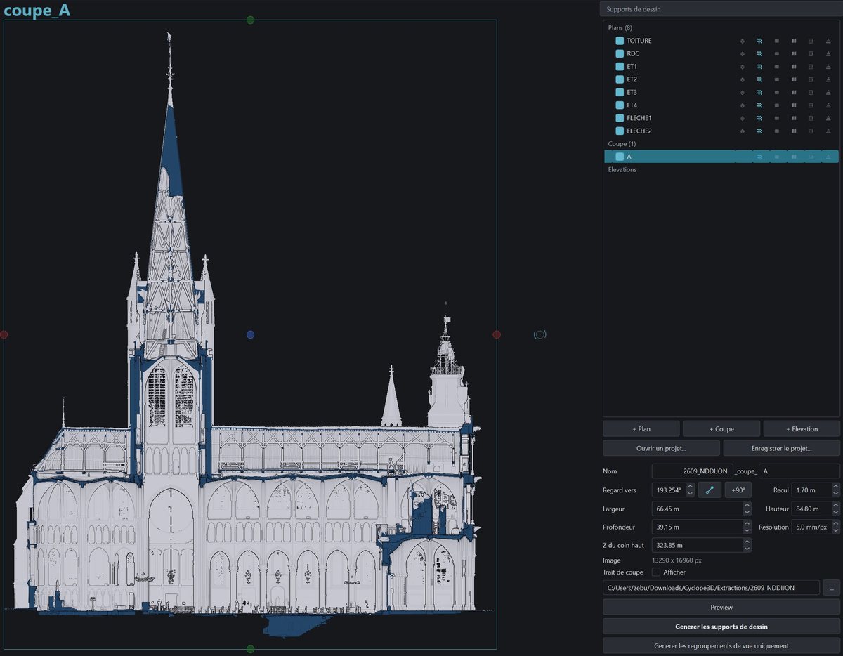
Section line generation for meshes, point clouds and 3DGS
A generation confidence index is provided for point clouds and 3DGS.
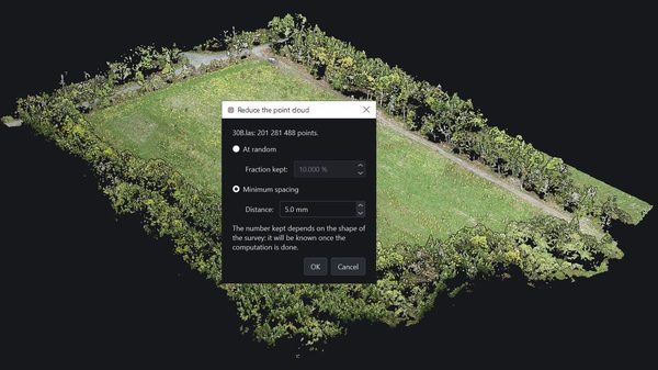
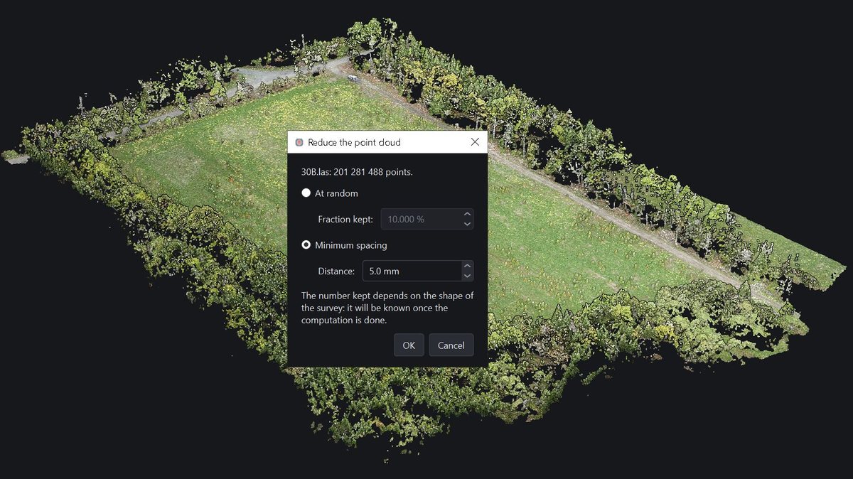
Point cloud reduction
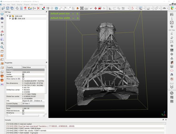
Export of 3D models after cutting and analysis
Meshes, 3DGS and point clouds, with the changes made and the computed data fields.
4 Preparation & extraction
View placement and alignment
- Converting a section into an elevation, and back
- Duplicating plans, sections and elevations
- Quick +90° rotation
- Snapping to round levels (5 cm steps minimum)
- Automatic view numbering
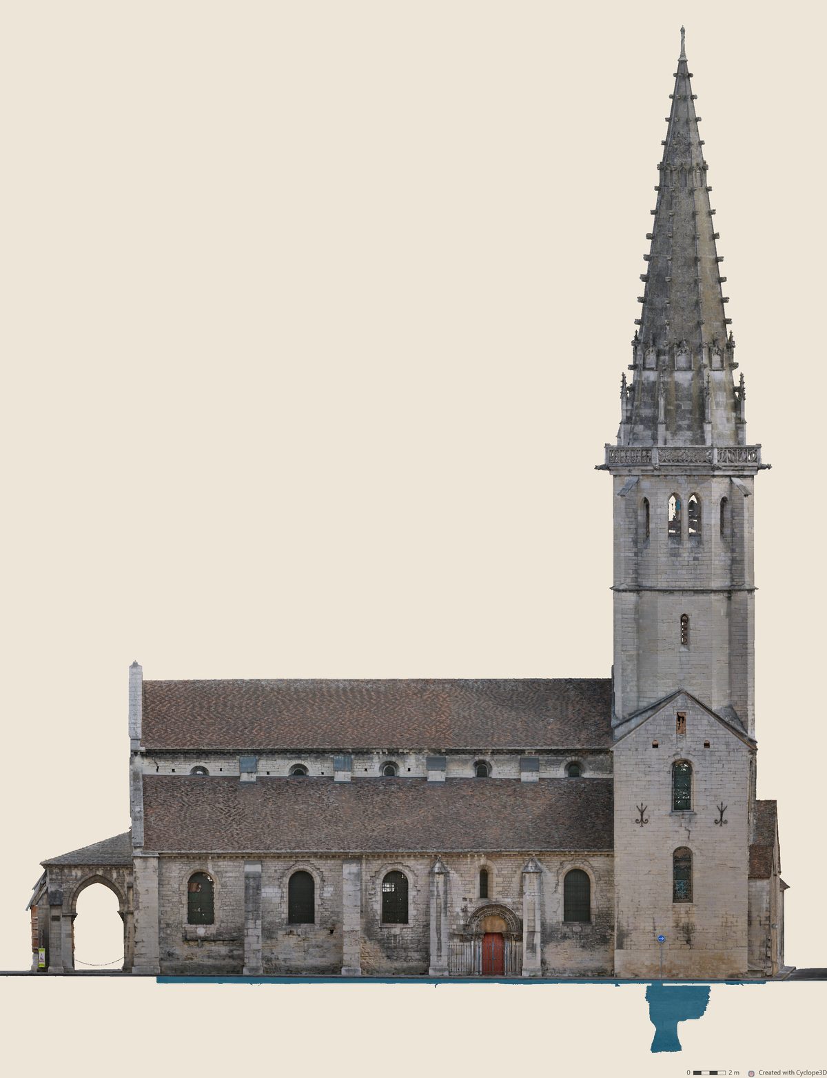
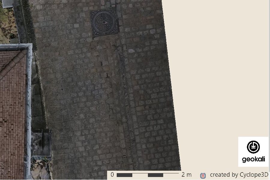
- Orthoimages georeferenced in global coordinate systems
Four view types
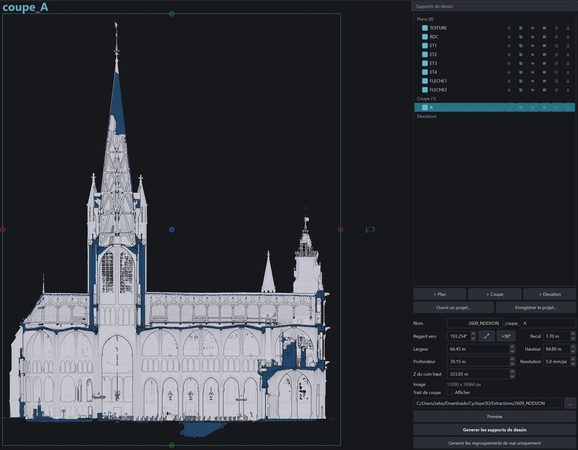
Plan, inverse plan (ceiling, roof structure), section, elevation.
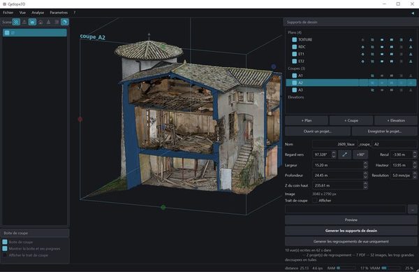
Section orientation from two clicked points
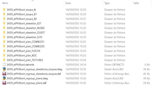
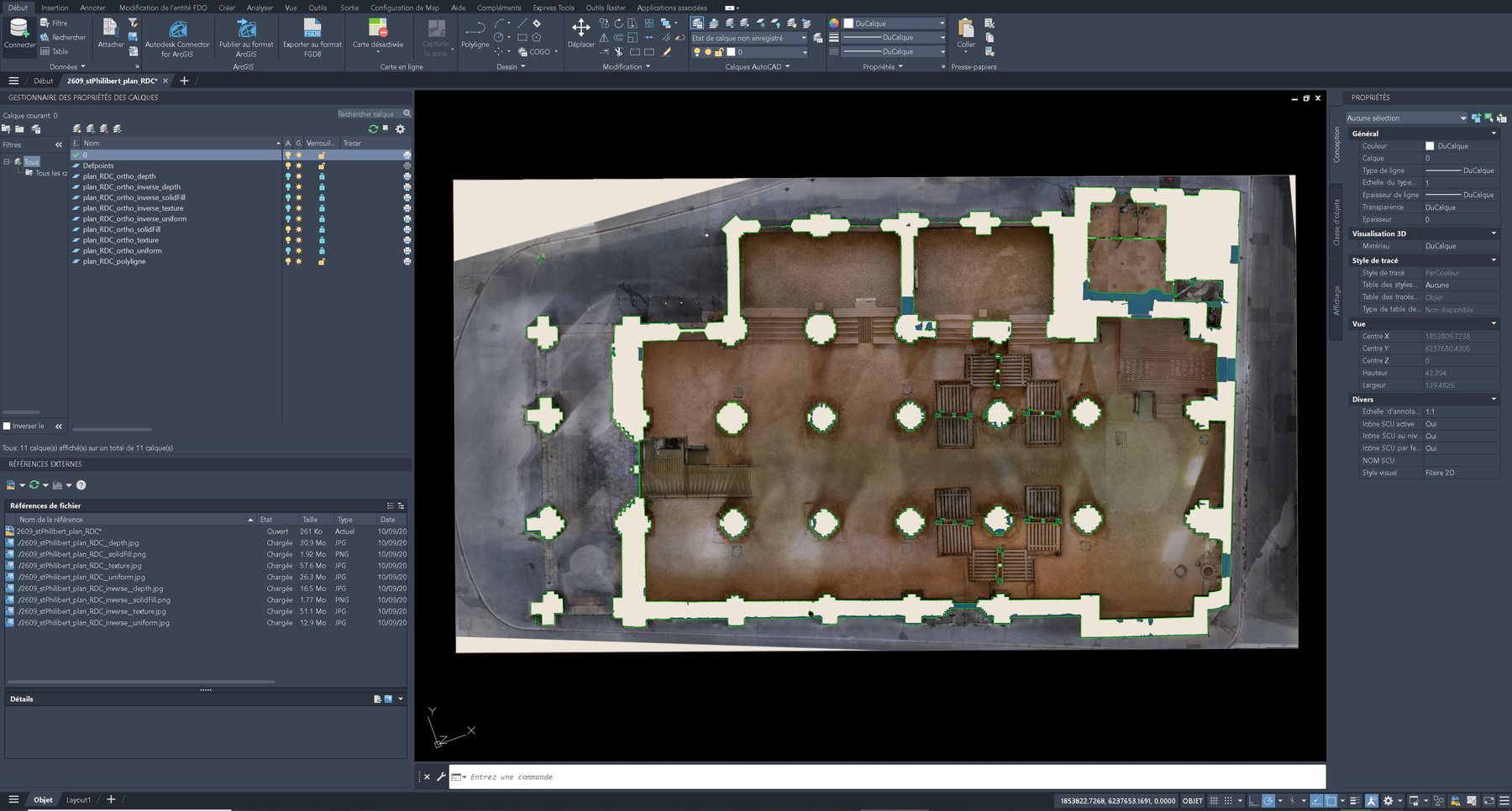
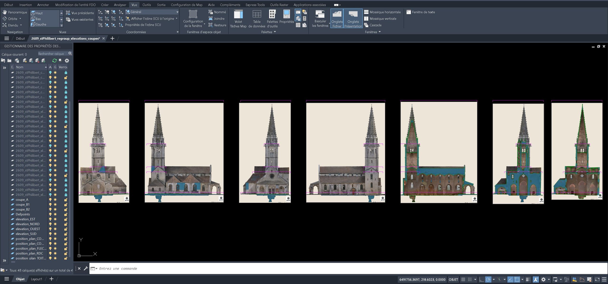
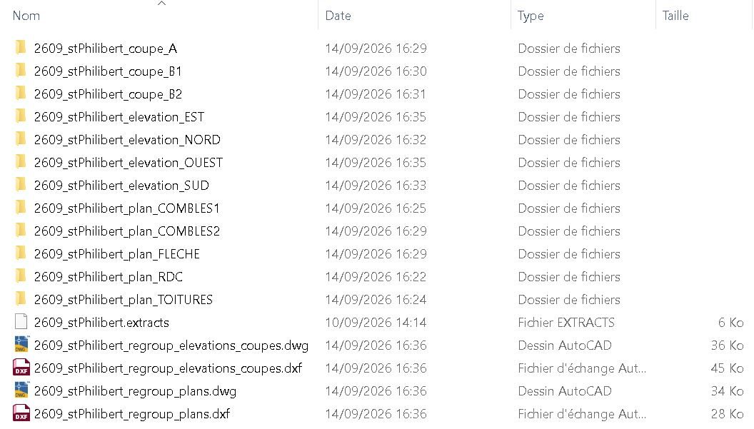
AutoCAD DWG
With layers, polylines and images as external references.
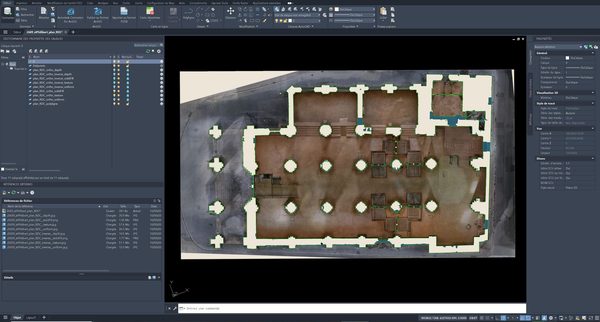
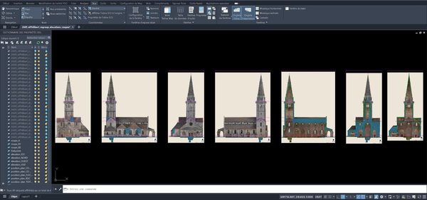
Groupings
One drawing of the plans, overlaid, and one of the elevations and sections, side by side, as external references.
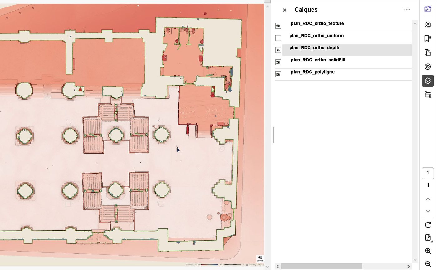
One PDF per view
With the layers of the drawing and the title of the view.
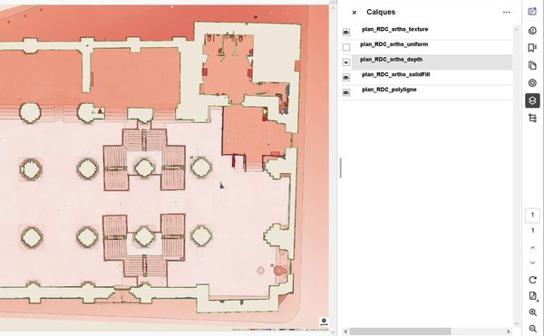
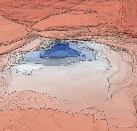
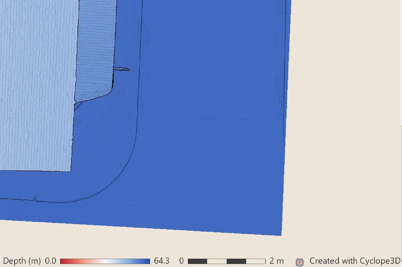
Depth representation relative to the view
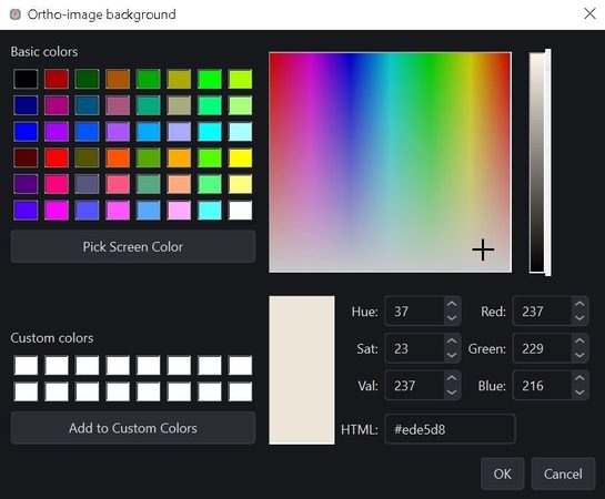
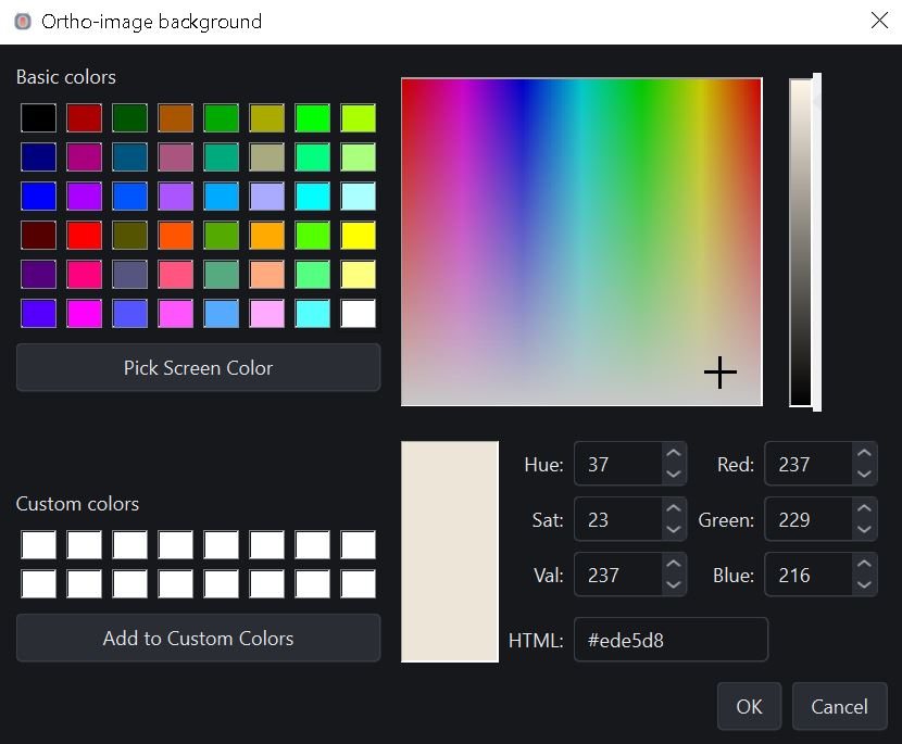
Customizable orthoimage background color
To match graphic guidelines.
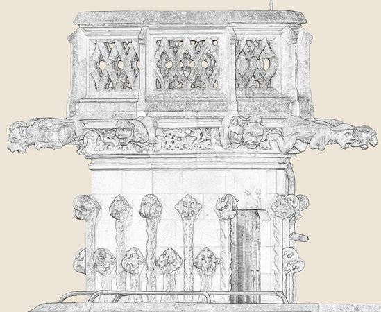
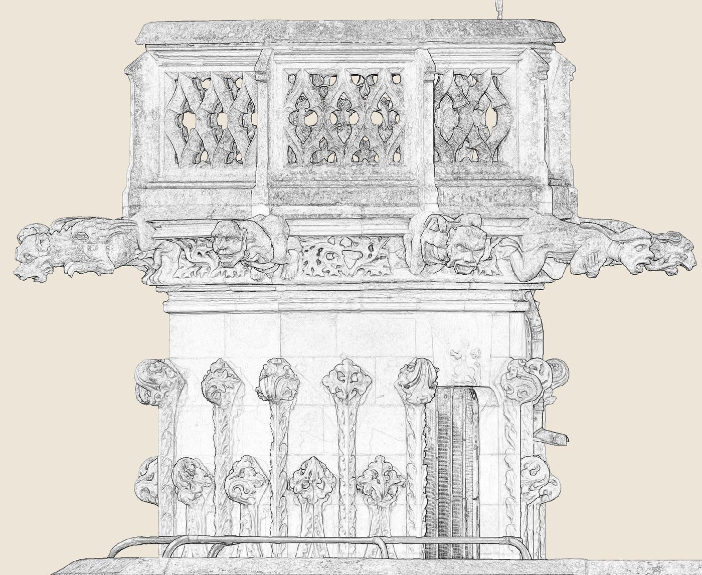
Contour orthoimage export
To support synthesis work through drawing.
Transparent solid-fill generation
Overlaid on the other views, or built into each orthoimage.
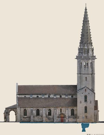
Customizable representations: intensity, normals, classification, etc.
Added to the drawing outputs.
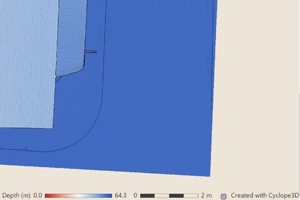
Color ramp and distance scale bar
In the images.
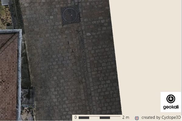
Logo and copyright
Adjustable position and size.
File and layer names compatible with AutoCAD / Vectorworks
Accents and forbidden characters corrected on entry.
Installation and use
A single .exe file, no installation, one license per workstation
Saving extraction projects
Surveys and views, by dragging the project file onto the window.
Background saving of temporary projects
To reopen a project that was not saved.
French and English interface
Following the language of the computer, delivered files included.